")
")
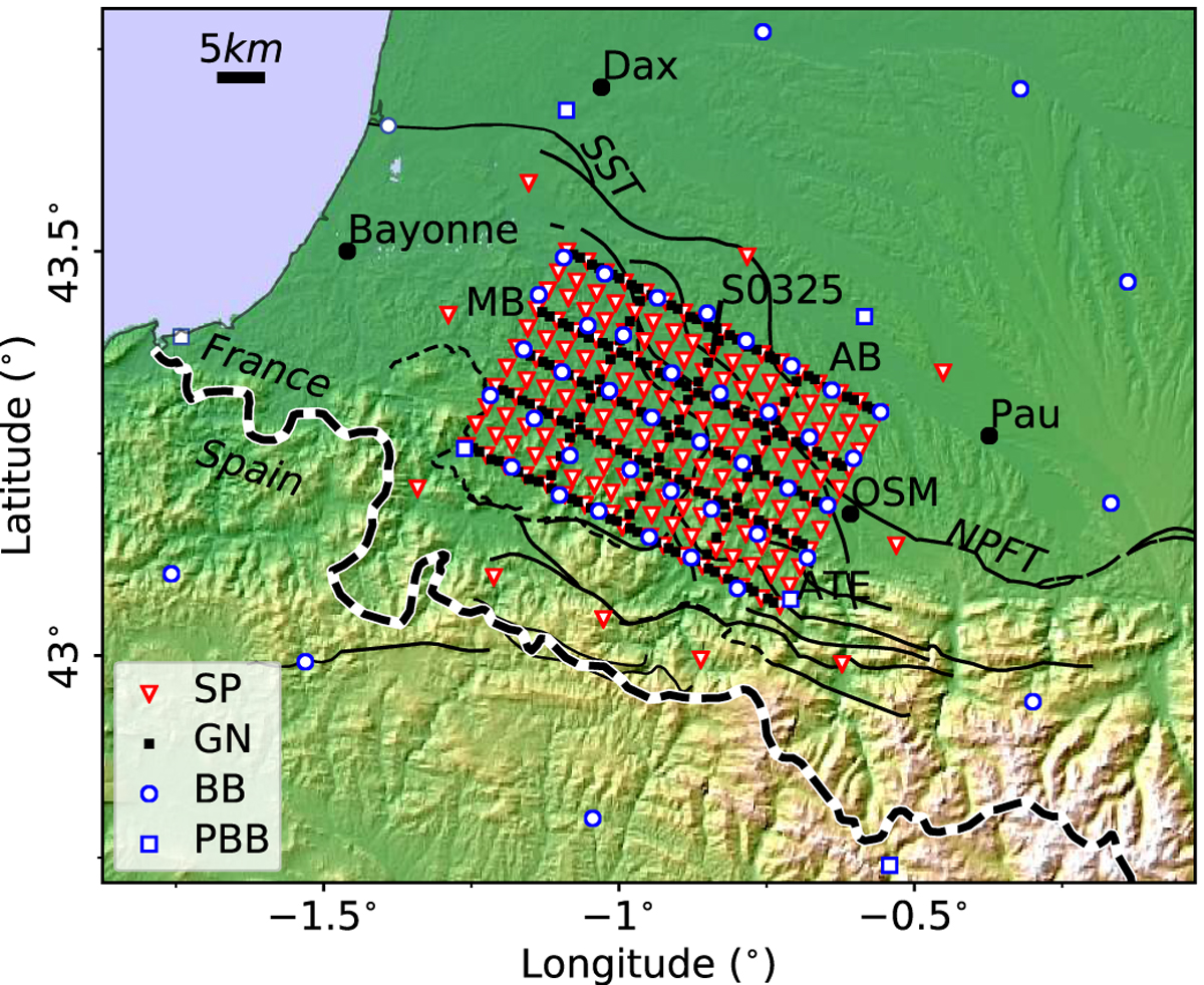
Fig. 1
Download original image
Map of stations (SP: short period; GN: Geophone nodes; BB: broadband; PBB: permanent broadband) deployed during the Maupasacq experiment. OSM: Oloron-Sainte-Marie; AB: Arzacq Basin; MB: Mauléon Basin; NPFT: North Pyrenean Frontal Thrust; SST: Sainte-Suzanne Thrust. The solid lines indicate some of the known faults of the area, the thin dashed line SW of the survey indicates the contact between the Labourd Paleozoic basement and the sediments of the Mauléon Basin and its equivalent along the Arbailles Massif further to the south, see Figure 2B. The thick dashed line delimits the French-Spanish border.
Current usage metrics show cumulative count of Article Views (full-text article views including HTML views, PDF and ePub downloads, according to the available data) and Abstracts Views on Vision4Press platform.
Data correspond to usage on the plateform after 2015. The current usage metrics is available 48-96 hours after online publication and is updated daily on week days.
Initial download of the metrics may take a while.