Fig. 3

Download original image
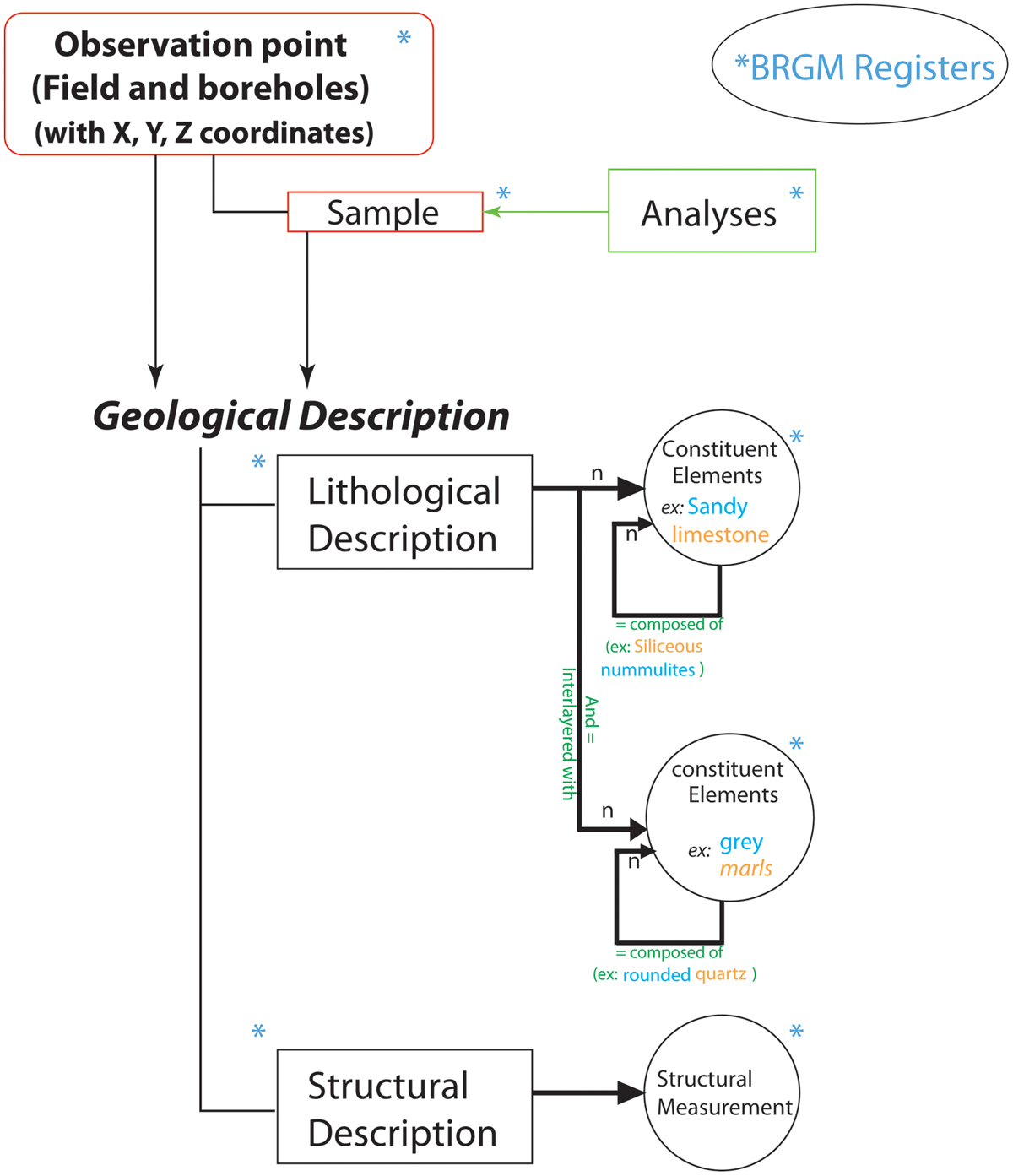
Diagram showing relationships between observation points and the geological description in the GEOFIELD application. The in-house Geofield application makes it possible to manage data from field observations and measurements, rock sampling, and even laboratory analysis. Each geological feature is described by a list of terms from the BRGM registers that are standardized and common to different BRGM applications, are designed to be compatible with European and international standards (GeoSciML and INSPIRE standards).
Les statistiques affichées correspondent au cumul d'une part des vues des résumés de l'article et d'autre part des vues et téléchargements de l'article plein-texte (PDF, Full-HTML, ePub... selon les formats disponibles) sur la platefome Vision4Press.
Les statistiques sont disponibles avec un délai de 48 à 96 heures et sont mises à jour quotidiennement en semaine.
Le chargement des statistiques peut être long.


