")
")
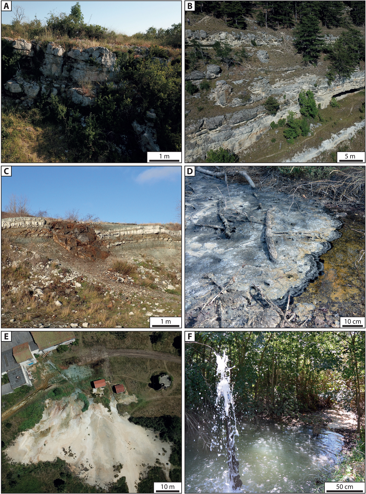
Fig. 4
Download original image
Macroscopic views from the different visited outcrops and quarries (drone images acquisition by MAVIC PRO and DJI GO4): A. Drone acquisition from the Chadrat biostrome. B. Drone acquisition from the Jussat Outcrop showing the whole vertical section. C. Panorama of the Grand Gandaillat quarry showing the lacustrine and palustrine cycles and a peperite dyke crosscutting the lacustrine deposits. D. Puy de la Poix outcrop, where the bitumen is degraded by sulfate-reducing bacteria. The white deposit at the water-air interface is considered as colloidal sulfur. E. Drone acquisition from the Sainte Marguerite showing a large modern carbonate platform alimented by an outflow channel connected to the Chapelle well (behind the old bottling fabric). F. Water and CO2 eruptions at the Geyser (see Fig. 3F for position).
Current usage metrics show cumulative count of Article Views (full-text article views including HTML views, PDF and ePub downloads, according to the available data) and Abstracts Views on Vision4Press platform.
Data correspond to usage on the plateform after 2015. The current usage metrics is available 48-96 hours after online publication and is updated daily on week days.
Initial download of the metrics may take a while.